Weather conditions last updated on May 23, 2026, 9:22 pm CDT
| Description | Month High | Month Low |
|---|---|---|
| Temperature | 83.0°F | 30.1°F |
| Humidity | 96% | 19% |
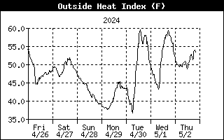
| Heat Index | 80.0°F | |
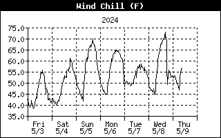
| Wind Chill | 24.0°F | |
| Dew Point | 57.0°F | 22.0°F |
| Barometer | 30.428" | 29.435" |
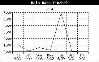
| Wind Speed | 47.0 m.p.h. | |
| Solar Radiation | 1248 W/m2 | |
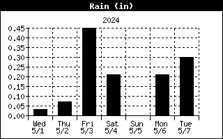
| Monthly Rain Total | 1.11" |
| Description | Year High | Year Low |
|---|---|---|
| Temperature | 91.8°F | -8.1°F |
| Humidity | 97% | 18% |
| Heat Index | 90.0°F | |
| Wind Chill | -23.0°F | |
| Dew Point | 62.0°F | -12.0°F |
| Barometer | 30.948" | 29.062" |
| Wind Speed | 67.0 m.p.h. | |
| Solar Radiation | 1248 W/m2 | |
| Yearly Rain Total | 2.68" |
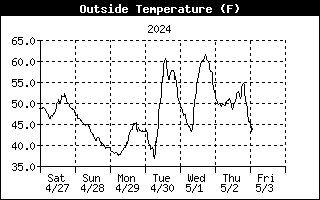
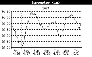
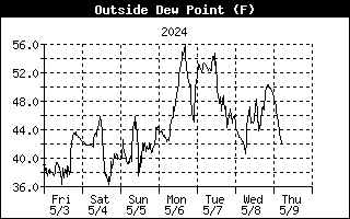
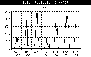
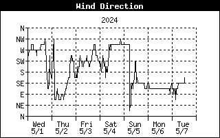
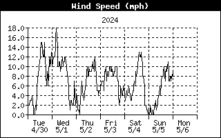
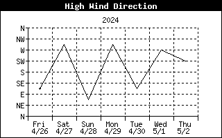
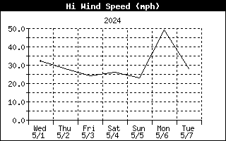
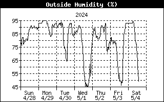
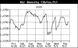
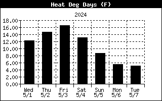
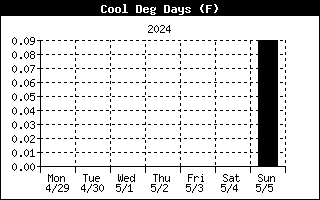
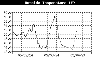
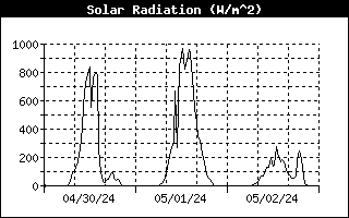
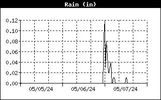
History Graphs
Historical graphs are automatically generated every hour and display the previous three and seven days’ data in line chart form.
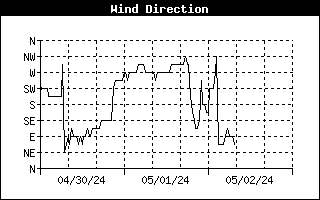
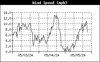
Three-Day Graphs
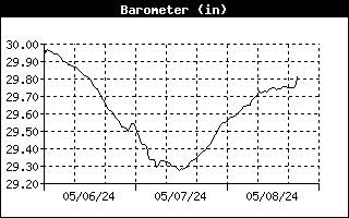
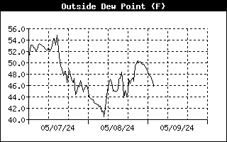
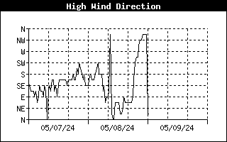
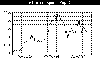
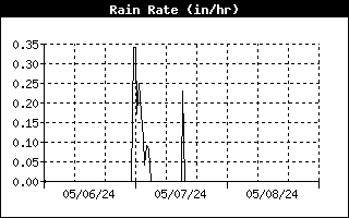
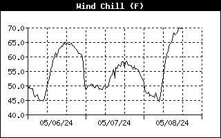
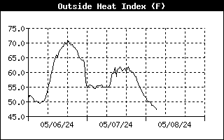
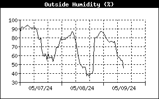
Seven-Day Graphs